
Treks in India · Karnataka
Kumara Parvatha Trek: Shesha Parvatha Limit, Permit Booking and Best Time

By Beauty of Bharat — India travel guide, every place, every flavour.
Guides covering all 36 States and UTs, researched from official sources and checked at publish time. Corrections welcome — see About Beauty of Bharat.
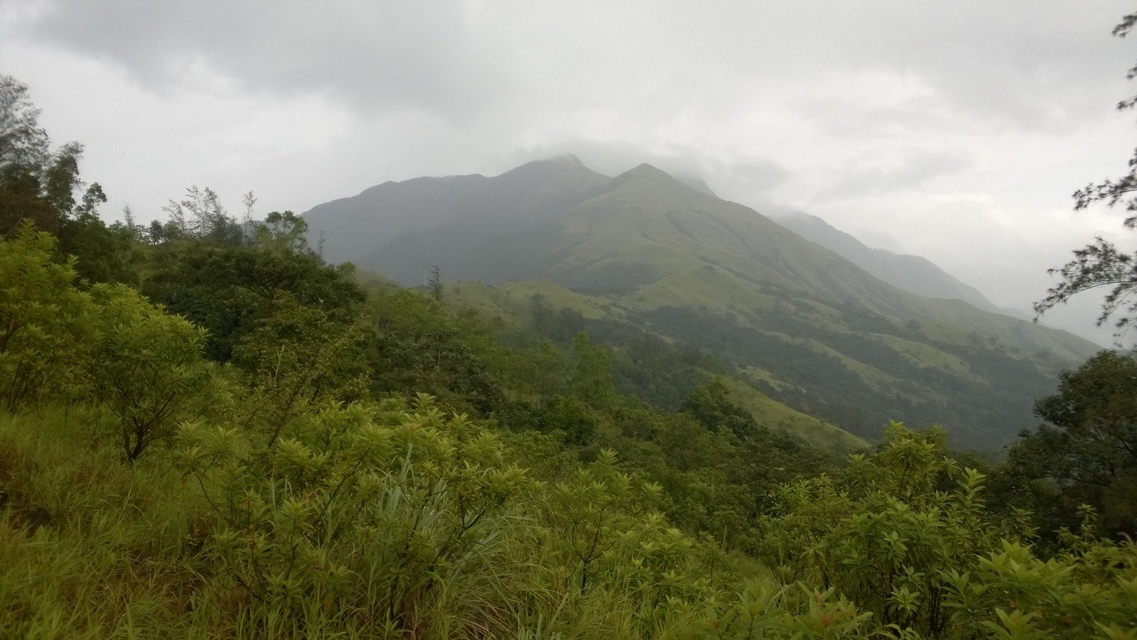
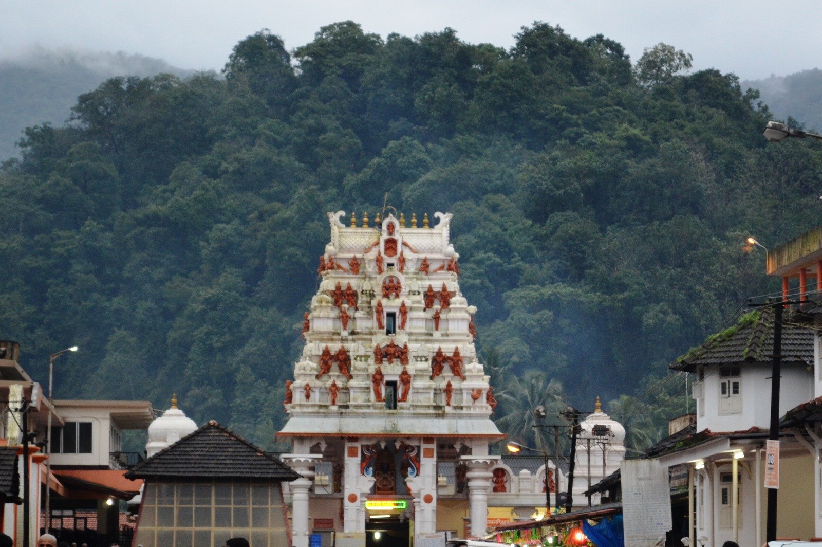
It is the hardest walk in South India that you can finish in a single day: about 19–20 km return through the rainforests of the Western Ghats to Shesha Parvatha, 2 km short of the Kumara Parvatha summit. Kumara Parvatha — also called Pushpagiri — rises above the temple town of Kukke Subramanya, and the trail is a pilgrimage as much as a trek: it starts at a temple, climbs past a forest rest house, and ends on a bare rocky ridge with the whole of the Western Ghats spread below. And since December 2025, there is a catch that catches out every trekker who plans from an old blog post: the summit itself is closed, and the trek now stops at Shesha Parvatha.
In short: The Kumara Parvatha trek from Kukke Subramanya runs about 19–20 km return and is done in a single day, within the 6 AM to 6 PM window, to Shesha Parvatha — the endpoint since the summit closed to trekkers in December 2025. The best time is October to February, with October–November the best of all. It is a hard trek: steep, humid, and long, with no water sources after the forest rest house and no place to sleep on the mountain. Permits are mandatory and booked online on the Karnataka Forest Department’s Aranya Vihara portal; entry is capped, entry is 6 AM–2 PM, exit by 6 PM, and camping is banned — this is a single-day trek only.
At a glance
- Distance: about 19–20 km return (Kukke Subramanya to Shesha Parvatha)
- Days: 1 day (6 AM to 6 PM — must complete within 12 hours)
- Altitude: the summit is 1,712 m (5,617 ft) but currently closed to trekkers; the trek ends at Shesha Parvatha, 2 km short of the summit
- Difficulty: hard / difficult — steep, long, humid, no water on the upper trail
- Best months: October, November, December, January, February (October–November best)
- Base: Kukke Subramanya, Dakshina Kannada district, Karnataka (260 km from Bangalore, 115 km from Mangalore, 65 km from Madikeri)
- Route: Kukke Subramanya → Bhattara Mane → Girigadde → Shesha Parvatha (endpoint)
The route
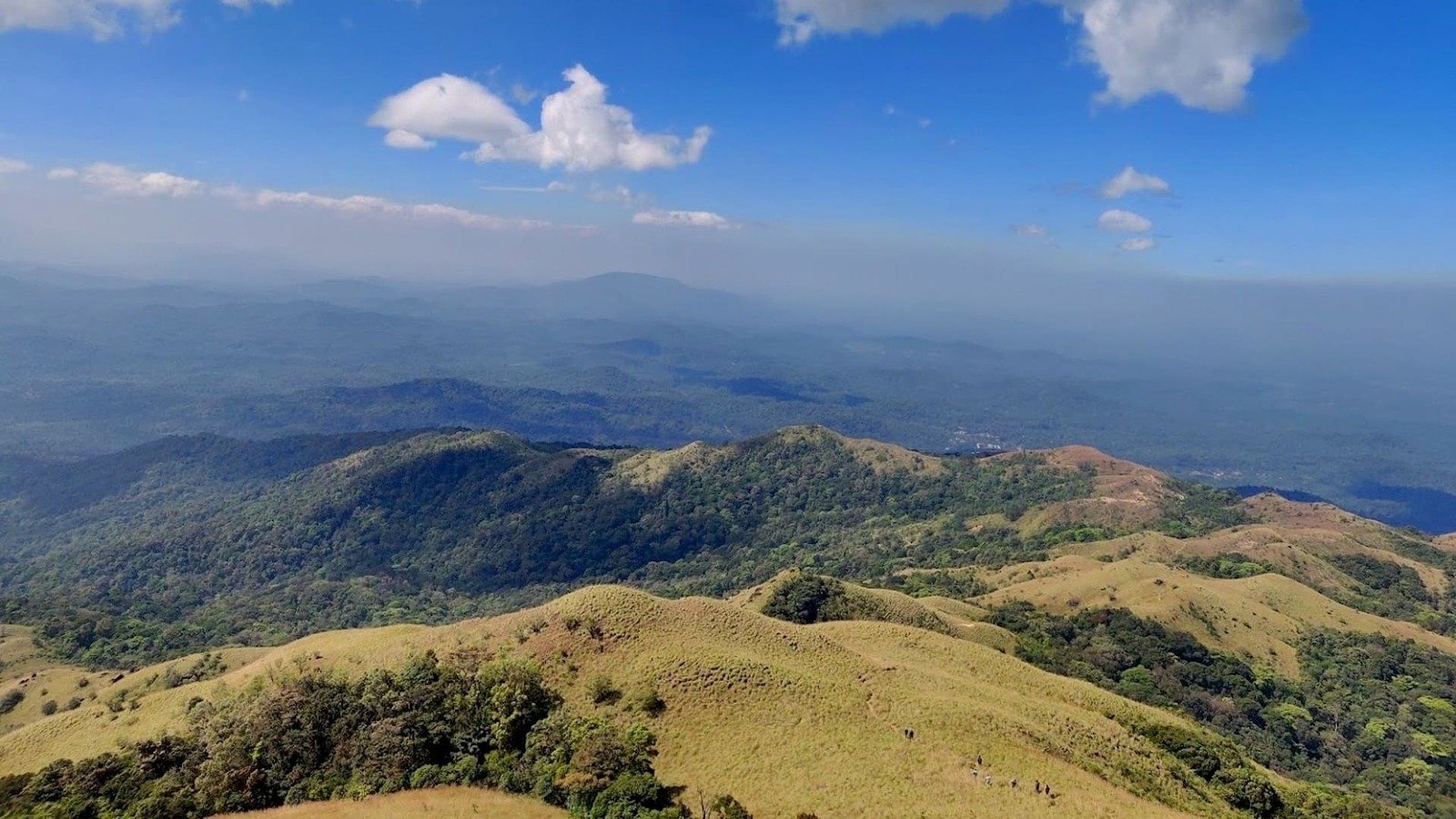
From Kukke Subramanya the trail climbs through the forest to Bhattara Mane, the old forest rest house at the halfway mark, then steepens past Girigadde to Shesha Parvatha — the endpoint since the summit closed in December 2025. The whole route is inside Pushpagiri Wildlife Sanctuary, and the upper half is open grassland and rock with no shade and no water. The Beedahalli route is shorter and approaches from the Somwarpet side; the crossover route links the two — check the Aranya Vihara portal for the current routes and their endpoints.
- 6:00 AM: Enter at the Kukke checkpost with your online permit
- Morning: Kukke Subramanya → Bhattara Mane (forest trail, the only water point)
- Midday: Bhattara Mane → Girigadde → Shesha Parvatha (steep, open, no water — carry all you need)
- Afternoon: Shesha Parvatha, then descend
- 2:00 PM: Turnaround time — if you have not reached Shesha Parvatha by 2 PM, turn back
- 6:00 PM: Out of the forest by 6 PM (enforced)
Photos from the trail
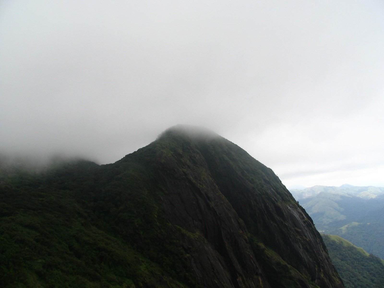
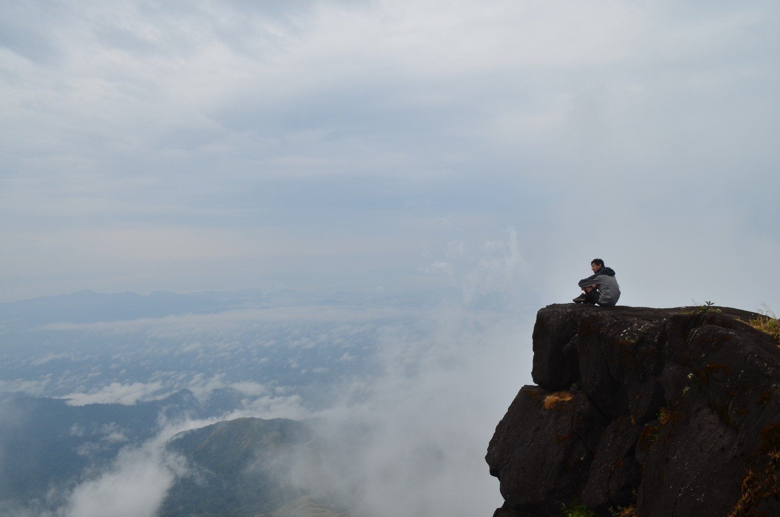
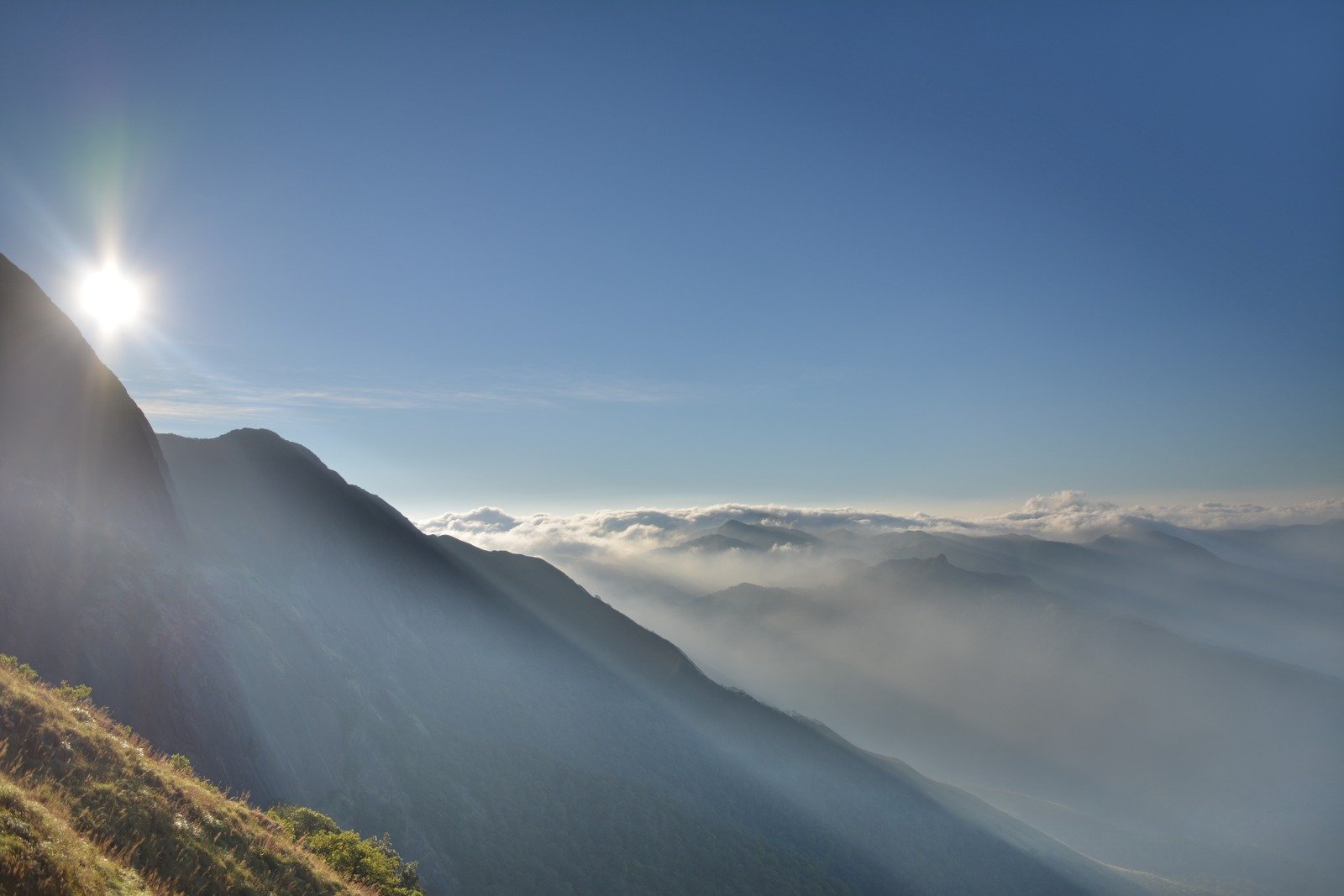
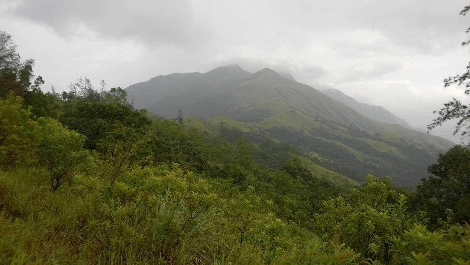
Eight views from the Kumara Parvatha trek — the temple town where it starts, the grassy ridges and rock faces on the climb, and the sea of cloud at the top.


How to reach
Kukke Subramanya is 260 km from Bangalore, 115 km from Mangalore and 65 km from Madikeri, by road. The nearest railway station is Subramanya Road (about 12 km from the town), and the nearest airport is Mangalore. Buses run from Bangalore and Mangalore to Kukke Subramanya; most trekkers arrive the evening before and start at 6 AM.
Permits and registration
Permits are mandatory and booked online only, on the Karnataka Forest Department’s Aranya Vihara portal. Book the route you will actually walk — Kukke, Beedahalli or crossover — because permits are route-specific and capped (about 150 trekkers a day on the Kukke route, per The Hindu and Asianet News, March 2026; caps on other routes are route-specific — check the portal). Carry your permit and a government photo ID; both are checked at the forest checkpost. Entry is 6 AM to 2 PM, exit by 6 PM, and the 2 PM turnaround is enforced — if you are not at Shesha Parvatha by 2 PM, turn back. Book early in the October–February season: weekend slots fill up. The trek is closed in the monsoon (June–September) and in the summer months — check the portal for the current closure dates.
Booking — read this first
The Kumara Parvatha summit has been closed to trekkers since December 2025. The 2-km stretch from Shesha Parvatha to the summit is closed — steep and challenging, for safety and wildlife reasons — so the trek now ends at Shesha Parvatha. Do not plan a route to the summit, and do not trust older blog posts or trek reports that describe the summit as the endpoint.
Book your permit online on the Karnataka Forest Department’s Aranya Vihara portal before you travel — entry is capped (about 150 trekkers a day on the Kukke route, per The Hindu and Asianet News, March 2026) and the portal is the only official way in. Entry is 6 AM to 2 PM and you must be out by 6 PM; the 12-hour limit is enforced. Camping is not permitted — overnight stays at Bhattara Mane and Girigadde are banned (since 5 June 2024), and no camping equipment is allowed past the checkpost. Book first, then plan the rest of the trip around your permit date.
Safety
This is a hard one-day trek and the main risks are heat, humidity and dehydration: the upper trail has no water and no shade, so carry at least 3 litres per person and start at 6 AM. The forest trail is leech country in and just after the monsoon — wear long socks and carry salt. The 2 PM turnaround is enforced for a reason: the descent is steep and rocky, and doing it in the dark is dangerous. Do not attempt this trek in the monsoon (June–September), when the trail is slippery and the forest department restricts entry.
Frequently asked questions
Can I trek to the Kumara Parvatha summit?
No. The summit has been closed to trekkers since December 2025. The 2-km stretch from Shesha Parvatha to the summit is closed for safety and wildlife reasons, so the trek now ends at Shesha Parvatha, 2 km short of the summit. Do not trust older posts that describe the summit as the endpoint.
What is the Kumara Parvatha trek distance?
About 19–20 km return on the Kukke Subramanya route, to Shesha Parvatha and back, in a single day. The Beedahalli and crossover routes are shorter — check the Aranya Vihara portal for their current routes and distances.
How many days does the Kumara Parvatha trek take?
One day. Entry is 6 AM to 2 PM and you must be out by 6 PM — the whole trek has to be completed within 12 hours. Overnight stays on the mountain are banned, so there is no two-day option.
What is the Kumara Parvatha trek height?
The summit is 1,712 m (5,617 ft), but it is currently closed to trekkers — the trek ends at Shesha Parvatha, 2 km short of the summit. Kumara Parvatha — also called Pushpagiri — is the second-highest peak in Coorg and the highest peak in Pushpagiri Wildlife Sanctuary.
How difficult is the Kumara Parvatha trek?
Hard. It is a steep, humid, 19–20 km day with no water on the upper trail and no place to rest overnight. It suits fit trekkers with some experience; first-timers should go with a group and a guide, and should not underestimate the long day.
What is the best time for the Kumara Parvatha trek?
October to February, with October–November the best months — clear skies, cool air and the forest at its greenest after the monsoon. Avoid June–September (monsoon) and the hot months of March–May; the trek is closed in the monsoon and in summer.
How do I book a permit for the Kumara Parvatha trek?
Online only, on the Karnataka Forest Department’s Aranya Vihara portal. Book the route you will walk — Kukke, Beedahalli or crossover — because permits are route-specific and capped (about 150 a day on the Kukke route, per The Hindu and Asianet News, March 2026). Carry your permit and a government photo ID to the forest checkpost.
Is camping allowed on the Kumara Parvatha trek?
No. Overnight stays at Bhattara Mane and Girigadde are banned (since 5 June 2024) and no camping equipment is allowed past the checkpost — it is a single-day trek only. Older sources still describe overnight stays, so check the current position on the Aranya Vihara portal before you plan.
Where does the Kumara Parvatha trek start?
At Kukke Subramanya in Dakshina Kannada district, Karnataka — 260 km from Bangalore, 115 km from Mangalore and 65 km from Madikeri. The Beedahalli route starts from the Somwarpet side instead.
Can beginners do the Kumara Parvatha trek?
It is a hard trek, not a beginner’s first walk — 19–20 km in heat and humidity, with a steep, rocky descent. Fit beginners can do it with a group and a guide, a 6 AM start, and enough water, but it is not a casual day out.
Trek operators for this route
Operator listings for the Kumara Parvatha trek open soon — local companies running this route will be listed here with their own prices and dates. Run treks on this route? Put your company in front of thousands of travellers planning this trek — write to our team at hello@beautyofbharat.com and we’ll share the listing details.
Want the best current offer for this trek?
Tell us your dates and group size and we will connect you with operators running the Kumara Parvatha trek. Prices come from the operators themselves — we never invent them.
Ask for the best offer →More treks: Treks in India · Valley of Flowers trek · Hampta Pass trek · Triund trek · Kedarnath trek · Roopkund trek · Kashmir Great Lakes trek · Markha Valley trek · Goecha La trek